


73 Croix du signal via Château Renard

jeanlucm88
User

Length
12.3 km

Max alt
1459 m

Uphill gradient
566 m
Km-Effort
19.9 km

Min alt
974 m

Downhill gradient
566 m
Boucle
Yes
Creation date :
2024-08-27 06:34:09.236
Updated on :
2024-08-27 17:28:53.507
4h02
Difficulty : Medium

FREE GPS app for hiking
 SityTrail
IGN / Geographical institutes
SityTrail Plus
The world is yours!
About
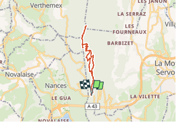
Trail Walking of 12.3 km to be discovered at Auvergne-Rhône-Alpes, Savoy, La Motte-Servolex. This trail is proposed by jeanlucm88.
Description
Le parking de départ est désormais au niveau de la route du col de l'épine
Photos


Positioning
Country:
France
Region :
Auvergne-Rhône-Alpes
Department/Province :
Savoy
Municipality :
La Motte-Servolex
Location:
Unknown
Start:(Dec)
Start:(UTM)
720085 ; 5051765 (31T) N.
Comments